Races
Bocairent Trail 2026: date and distances
The 11th edition brings races and a non-competitive walk to Bocairent, starting from Parc de l’Estació.

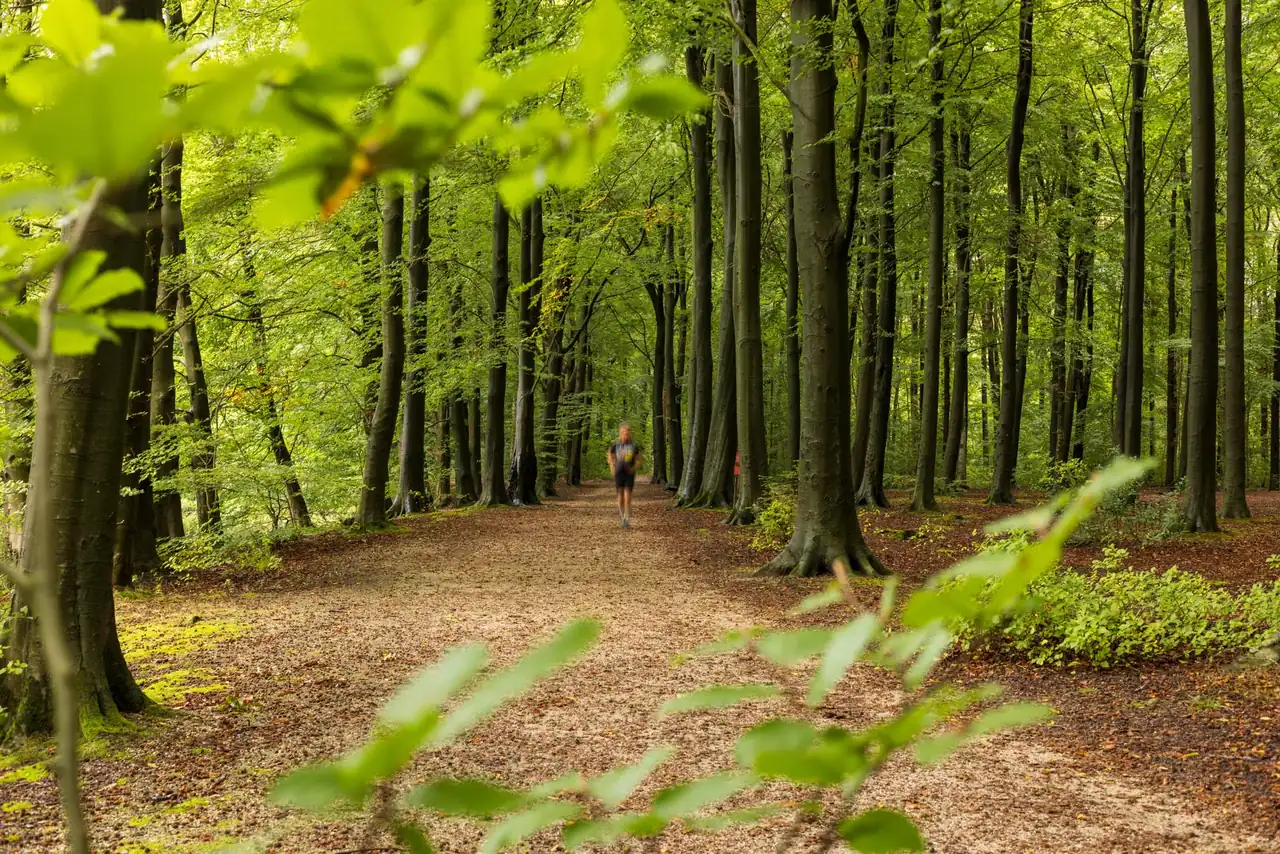
Bocairent’s mountain running event returns on Sunday, October 25, 2026, with the start and finish at Parc de l’Estació. The 11th edition offers two competitive routes and a non-competitive walking event through the Sierra de Mariola. Combined participation is capped at 600 people, so places are shared across all three event options.
Published information sets advance entry at €23 through October 21 and lists a €25 fee on race day, provided places remain and registration is completed no later than half an hour before each start. There is, however, a discrepancy over the long course: one description gives its distance as 22 kilometres, while the registration platform lists it as 23K. The edition’s regulations should take precedence when confirming that figure.
Date, location and key details
The event takes place in Bocairent, in Valencia province, and is organised by Bocairent Town Council. Parc de l’Estació will serve as both the start and finish, making it a useful reference point for planning arrival. Registration information lists a 9 a.m. start, although the material available does not clarify whether every event option begins at that time or whether starts will be staggered.
The event falls on a Sunday, and most of the course runs through the Sierra de Mariola Natural Park. The combined cap of 600 participants applies across runners and walkers in all three options, rather than to each course individually. Availability may change as entries are confirmed, so neither the price nor the existence of places should be treated as guaranteed beyond the published conditions for this edition.
Three options for different paces
The programme combines two competitive races with a walking alternative. The Trail Llarg is described as 22 kilometres with 1,100 metres of positive elevation gain, while the registration page calls it Trail Llarg 23K. A one-kilometre difference matters to anyone comparing training loads, estimated times or course difficulty; until the regulations or official route clarify the figure, it should be treated as unconfirmed.
The second race is the Sprint Trail, listed at 13 kilometres and 650 metres of elevation gain. The programme also includes an 11-kilometre non-competitive walk with 500 metres of climbing. Although all three options share a starting point and setting, they offer different experiences: the long course demands greater endurance on mountain terrain, the sprint concentrates effort over fewer kilometres, and the walk lets participants enjoy the landscape without racing for a result.
The long course and the 22-versus-23-kilometre discrepancy
The available references do not fully agree on the distance of the main course. The general description gives 22 kilometres, but the registration platform shows a Trail Llarg 23K category. There is not enough evidence to treat both figures as interchangeable or declare either one final without checking the official documentation for this edition. The difference could reflect a route update, a different measurement or an entry page that has not yet been corrected.
When preparing for the race, training should not be based only on whichever distance seems more convenient. In mountain running, elevation, gradient, surface and the distribution of climbs can matter as much as total distance. The 1,100 metres of positive elevation are associated with the long course in the supplied description, but a full profile and detailed track are not included in the available information. The regulations and map released by the organisers will be essential for confirming the final route.
A course shaped by the Sierra de Mariola
Most of the route passes through the Sierra de Mariola Natural Park, a mountain landscape that gives the event its character. Starting in Bocairent, the course enters an environment where natural terrain and changing gradients can shape the pace. This is not simply a matter of covering kilometres: in trail running, a long climb or uneven path changes the effort required and calls for different pacing from an urban race.
The information provided does not include a kilometre-by-kilometre route, aid stations or specific checkpoints. It also does not say what proportion runs along tracks, footpaths or technical terrain. A precise description of those features should therefore wait for the official map and regulations, rather than being inferred from the location alone. The natural park provides useful context, but it does not replace the 2026 course details.
Entry and advertised prices
The published advance entry fee is €23 per participant through October 21. The event description also allows for registration on race day at €25, up to half an hour before the relevant start and only if places remain. Because the 600-person limit is shared across all three options, this does not mean that places will be held for last-minute registration.
The registration platform lists a period from August 1 to October 21, 2026, closing at 8 p.m. on the final day, and shows a €23 fee for all three categories during that period. The option to pay €25 on race day comes from the event’s general description, so it should be checked against the organisers’ current conditions. The same caution applies to any booking fees, changes of category or refunds, which are not detailed in the supplied information.
Schedule and race-day organisation
The registration page lists a general start time of 9 a.m. on Sunday, October 25. Separate start times for the Trail Llarg, Sprint Trail and walking event are not specified. This distinction matters: arriving with time to spare allows participants to check bib collection information and instructions for each option, but it is not safe to infer an individual start time from the general time alone.
The shared location at Parc de l’Estació makes the event’s central meeting point easy to identify, although the available details do not specify parking, bib collection, facilities or traffic restrictions. Those details should be checked in official communications closer to the date, since logistical arrangements can change. It is also worth checking whether the regulations specify mandatory equipment, checkpoints or cut-off times, particularly for the long course.
How the trail races differ from the walking event
The 11-kilometre walk shares the race’s natural setting but is described as non-competitive. Its 500 metres of positive elevation show that it is not a flat urban stroll: participants can expect climbs and descents, although the event does not aim to produce a race ranking. This option broadens the range of participants and offers a way to experience Mariola at a different pace from the runners.
The races, by contrast, require participants to manage effort according to distance and elevation. At 13 kilometres with 650 metres of climbing, the Sprint Trail concentrates its workload; on the long course, 1,100 metres of accumulated ascent make it important to save energy for the closing stages. Distance alone cannot predict a finishing time: mountain experience, surface and conditions on the day can all have a substantial effect.
Preparation and safety in the mountains
A sensible preparation plan includes varied terrain and practice on climbs and descents, rather than simply adding kilometres on paved roads. For a race with significant elevation, strength and the ability to sustain effort matter. Training volume should reflect each participant’s experience and fitness; gradual progression is generally more useful than suddenly attempting the full race distance in training.
The supplied information does not specify mandatory equipment or particular safety requirements. Even so, participants should read the regulations, check the forecast and bring whatever equipment the organisers require. Footwear should match the terrain described in the official route, not a generic impression of the area. It is also important to check aid stations and withdrawal procedures once those details are published, rather than assuming services that are not confirmed.
Bocairent and the appeal of an October race
The event combines the atmosphere of a local race with the landscape of a protected natural area. October places the event in a season of transition, but the month alone cannot predict the temperature or ground conditions on race day. Weather may differ between the town and higher ground, so actual conditions should be assessed using the forecast close to the event and the organisers’ guidance.
The participation cap and the presence of runners and walkers on the routes also make it important to respect the course and instructions about passing. In a natural setting, race pace should not distract from the terrain or other participants. The event offers three ways to explore Mariola, but they all share one principle: the experience depends on the mountain, clear organisation and responsible participation.
Final details will shape race preparation
The date, town, start point and three event options clearly establish the outline of the October 25 race. The elevation gain for each option, the combined cap of 600 participants and an advance fee of €23 have also been published. However, the exact Trail Llarg distance differs between 22 and 23 kilometres, and a full course profile, individual start times and logistical details have not been provided.
Before entering or adjusting training, the most important step is to check those points against the regulations and the organisers’ channels. The final documentation will confirm the course participants will actually run, how starts will be arranged and what conditions apply. With those details in hand, the Bocairent event can be judged on what it offers: a day of trail running and walking in the Sierra de Mariola, with options of varying difficulty and a date already set on the calendar.



How to prevent thigh chafing: causes and real solutions

Women’s running windbreakers: seven jackets and how to choose

Do more workouts get rid of soreness? A guide for runners

Jaén Half Marathon 2026: Record 3,800 Runners Registered

Men’s short running tights: how to choose the right pair

World Triathlon confirms data breach involving medical data

Izan Edo targets podium at Miyazaki World Cup

María Pérez ranks ninth in World Athletics’ 2026 top ten

Dos Santos, Duplantis and Sawe: World Athlete of the Year finalists

San Silvestre Vallecana 2026: 42,000 places, prices and start times

 Races3 months ago
Valencia Half Marathon 2027: date and registration

 Races3 months ago
Valencia Marathon 2026: entry, ballot and course

 Reviews and Comparisons4 months ago
Asics Gel-Roadmiles 3 for men: review and current price

 Reviews and Comparisons4 months ago
Asics Gel Sonoma 8 Gore-Tex: complete analysis for trail and rain

 Sneakers3 months ago
Saucony Endorphin Pro 4: full review and verdict

 News5 months ago
Strava API 2026: what changes for clubs, challenges and runner apps?

 Reviews and Comparisons5 months ago
Nike Alphafly 3: opinions, sensations, and real key points

 Reviews and Comparisons4 months ago
Under Armour running shoes review 2025-2026: models and key features

 Sports Equipment4 months ago
Shoe sizes in cm: a clear guide to getting the right fit for your footwear

 Sneakers3 months ago
Skechers GO RUN Consistent 2.0 analysis: comfort and limits

 News5 months ago
Valencia Marathon 2026 route: key tips to train and run better

 Sneakers4 months ago
Adidas Adizero Boston 13 for men: review and verdict