Races
Vallalta Trail 2026: date and routes
Two routes, mountain trails and a community race day in the Montnegre, based in Sant Iscle de Vallalta.

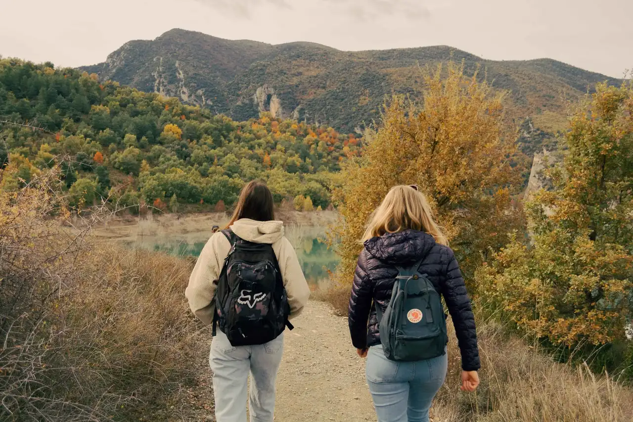
The 10th edition of Vallalta Trail will take place on Sunday, Nov. 1, 2026, in Sant Iscle de Vallalta, in Barcelona province’s Maresme region. The day features two races, covering 10 and 18 kilometers, through the wooded surroundings of the Montnegre range, as well as community activities for those who want to experience the mountains without competing. The longer distance has around 800 meters of positive elevation gain; the shorter one has between 360 and 394 meters, according to the available information.
The event combines forest tracks and trails, sustained climbs and descents that demand attention. The long route includes references to technical sections and ascents with the aid of ropes, features that can make its 18 kilometers more demanding than the distance suggests. Elevation and terrain, rather than distance alone, define the challenge; start times, prices and other logistical details are not included in the information reviewed and should be confirmed on the organizer’s official page.
A 10th edition rooted in its surroundings
The race grew out of a local group’s connection to the paths around Sant Iscle de Vallalta, Sant Cebrià de Vallalta and Canet de Mar. That relationship with the area remains part of its identity: the route enters the Montnegre massif and alternates forest tracks, narrow trails and wooded sections. It is more than a race in a green landscape; it is a way to explore paths connecting villages and less-traveled corners of the area.
In 2026, the event reaches its 10th edition and is listed as part of the XTrailCup circuit, according to information from the organizer cited by race calendars. The format retains two main distances, while the day also includes a children’s race and a popular walk. That range helps explain why the event may appeal to runners used to elevation as well as families and spectators looking for an activity without a timed competition.
The race’s history includes changes in format. A previous edition advertised 10- and 24-kilometer routes, but those figures should not automatically be carried over to 2026: the current event lists 10 and 18 kilometers. Photos from previous years and references to historical routes help explain how the race has evolved, but they are not a definitive description of this year’s course.
Two distances, different demands
The 10-kilometer race is the more accessible option on paper, with roughly 360 to 394 meters of positive elevation gain in published figures. The difference between the two totals likely reflects separate sources or versions of the profile; it is not possible to say which will be the final official figure. Either way, both put the route well beyond a flat walk: expect climbs and uneven ground, making some experience on mountain paths useful.
The start is described as being in Sant Iscle’s town center, with an initial urban section before joining a track and trail. The route information mentions a steep climb in the opening kilometers and a narrow trail section. The course combines different surfaces and paces: some sections may be runnable, but the accumulated elevation encourages runners to manage their effort from the start. The shorter distance is not a fast road race, but a short trail event where adapting to the terrain matters.
The 18-kilometer route adds a greater workload, with close to 800 meters of positive elevation gain and a succession of climbs and descents on tracks and trails. Turó Gros, at 758 meters, is identified as the highest point in a historical description of the area’s route, alongside Salt de Sallent as a scenic landmark. Those features help convey the mountainous character of the surroundings, but the exact 2026 itinerary should be checked against the official course profile before being treated as final.
The long course includes sections described as technical and climbs assisted by ropes. That is significant: when the terrain calls for hands as well as feet, the pace slows and effort is distributed differently than on a broad track. Anyone choosing the long distance should expect a mountain race, not a fast 18-kilometer outing, and should carefully review the elevation, difficulty and equipment recommended by the organizer.
Trails, ropes and Mediterranean woodland
The Montnegre range is a succession of ridges, tracks and narrow paths beneath a forest canopy. In this landscape, a race may alternate between flowing sections and slopes that force runners to walk, followed by descents where every step needs care. References to rope-assisted sections and technical descents point to varied terrain, although they cannot guarantee that every participant will encounter the same conditions: weather and ground conditions can change the character of the trails.
Salt de Sallent appears in historical information as a distinctive local landmark. In wet conditions, the earth can become slippery and roots more exposed; after dry weeks, dust and fallen leaves may conceal uneven ground. That is why reading the course means more than looking at a map. On a trail, the ground itself is part of the difficulty: a relatively short distance can require constant focus when elevation, tight turns and uneven surfaces combine.
Using natural areas also involves shared responsibility. Staying on the marked route, leaving no litter and respecting other people using the hills are basic practices, especially on a day bringing together runners, walkers and spectators. The race is presented as being in harmony with its surroundings; maintaining that relationship depends on the organizers and everyone taking part or visiting the area.
A race day that extends beyond the competitions
The 2026 program is not limited to the two timed races. Available information announces Vallalta KIDS, with free registration and a medal for participants, and an 8-kilometer popular walk. These are different formats with different aims: the children’s event introduces younger participants to the activity, while the walk lets people share the landscape without the pressure to compete.
The 8-kilometer walk may suit spectators or people who prefer a relaxed outing in the area. But a popular walk should not automatically be treated like an urban stroll: the route is in a mountain setting, so suitable footwear, water and clothing for the forecast are sensible. The day combines competition with recreational participation, but registration details, age limits and conditions for each activity should be checked in the official event information.
The race is scheduled for early November, when daylight hours are shorter than in summer and weather can change quickly. A clear morning does not rule out damp conditions in shaded areas or temperature shifts at higher elevations. For families and spectators, plans also depend on schedules and access arrangements, details that have not been confirmed in the reference information available.
Services and details worth checking
Promotional information for the event lists standard race services, including a runner’s bag, T-shirt, chip timing, medical assistance, bag drop, changing rooms with showers and aid stations. It also states that the 18-kilometer route has three aid stations including the finish, and the 10-kilometer route has two. These are the services announced, but they may be subject to change and should be checked against the race’s official instructions.
The available information does not confirm the registration price, exact start times, participant limits or the precise location for bib pickup. It also does not give an official start time for the children’s race or the popular walk. Those details should not be inferred from previous editions: schedules and conditions can change even when the venue or overall format stays the same.
The organizer has indicated that cancellation insurance is available, with a deadline for managing it 10 days before race day, and that the final day to request a name or distance change is the preceding Friday, according to information published for 2026. Before registering, it is important to read the current terms, check what the insurance covers and confirm the change deadline. Administrative rules are part of preparation, just as understanding the course profile is.
How to assess the challenge before choosing
The choice between 10 and 18 kilometers should not be based on distance alone. Expected elevation, experience running on trails and confidence on technical descents matter as much as the ability to maintain a pace for longer. For someone used to road running, a 10-kilometer mountain route may require more attention and effort than expected, especially if it includes steep climbs and narrow sections.
For the longer distance, the combination of around 800 meters of positive elevation and technical sections points to a demanding 18-kilometer race. That figure cannot be turned into a reliable finish-time estimate without the complete profile, trail conditions and each runner’s ability. The most useful reference is personal experience with elevation and uneven ground, rather than a direct comparison with a road race.
It is also worth remembering that mountain running usually means changing pace, walking some sections and managing energy carefully. Slowing down on a climb does not necessarily mean losing time; it can be a sensible way to save strength for the rest of the course. On descents, caution and stability matter more than chasing seconds at any cost, particularly where roots, loose stones or mud are present.
Race-day logistics in Sant Iscle de Vallalta
Sant Iscle de Vallalta, in Barcelona province, is the reference point for the event. Historical information places the start in front of the town hall, although it does not explicitly confirm that this will be the exact location in 2026. The final venue, parking, road closures and access for spectators should be checked in the current edition’s announcements, especially for anyone traveling from elsewhere in the Maresme or from Barcelona.
Allowing time for the journey helps prevent arrival from becoming a race in itself. Bib pickup, warm-up and getting to the start may take time, but their schedules have not been confirmed in the available information. Groups attending together can also agree on a meeting point and check whether the organizer recommends specific parking; there is not enough information here to give a particular route or transport service.
The November date makes it especially useful to check the weather forecast in the days beforehand and bring a light layer for before and after running. Forest sections may feel cooler than the village center, while climbing quickly generates body heat. Clothing should suit the route and actual weather, not just the temperature shown in the forecast for the town.
A race best understood on the trails
The 10th edition offers a clear picture of the event’s character: two main distances, a mountain setting and a day with options for different ages and abilities. Its appeal lies in the mix of woodland, trails and elevation, not in promising an easy race. The 10-kilometer course offers an introduction to trail running with climbs; the 18-kilometer option adds more elevation and technical sections, so the choice depends on the experience each runner is looking for and able to handle.
The children’s race and popular walk extend the day beyond competition. For runners, the references to Montnegre and technical sections sketch out an event where the landscape is not just a backdrop: it sets the pace and calls for attention on every section. The event is scheduled for Nov. 1, 2026, in Sant Iscle de Vallalta, but start times, prices and final course details need official confirmation.
Photos and course descriptions from previous years help reconstruct the event’s history, although each edition may change its profile and services. That continuity, along with its local roots, explains why the race has become a familiar fixture for trail runners in the Maresme. In November, the Montnegre will once again provide the setting for a day when every climb, trail and pacing decision counts as much as the kilometers on the race bib.



How to prevent thigh chafing: causes and real solutions

Women’s running windbreakers: seven jackets and how to choose

Do more workouts get rid of soreness? A guide for runners

Jaén Half Marathon 2026: Record 3,800 Runners Registered

Men’s short running tights: how to choose the right pair

World Triathlon confirms data breach involving medical data

Izan Edo targets podium at Miyazaki World Cup

María Pérez ranks ninth in World Athletics’ 2026 top ten

Dos Santos, Duplantis and Sawe: World Athlete of the Year finalists

San Silvestre Vallecana 2026: 42,000 places, prices and start times

 Races3 months ago
Valencia Half Marathon 2027: date and registration

 Races3 months ago
Valencia Marathon 2026: entry, ballot and course

 Reviews and Comparisons4 months ago
Asics Gel-Roadmiles 3 for men: review and current price

 Reviews and Comparisons4 months ago
Asics Gel Sonoma 8 Gore-Tex: complete analysis for trail and rain

 Sneakers3 months ago
Saucony Endorphin Pro 4: full review and verdict

 News5 months ago
Strava API 2026: what changes for clubs, challenges and runner apps?

 Reviews and Comparisons5 months ago
Nike Alphafly 3: opinions, sensations, and real key points

 Reviews and Comparisons4 months ago
Under Armour running shoes review 2025-2026: models and key features

 Sports Equipment4 months ago
Shoe sizes in cm: a clear guide to getting the right fit for your footwear

 Sneakers3 months ago
Skechers GO RUN Consistent 2.0 analysis: comfort and limits

 News5 months ago
Valencia Marathon 2026 route: key tips to train and run better

 Sneakers4 months ago
Adidas Adizero Boston 13 for men: review and verdict