Routes
Sunset Trail: route, trail and key points of the trail in Hot Springs
A long, hard, and very scenic trail in Hot Springs National Park, with technical sections and memorable views.

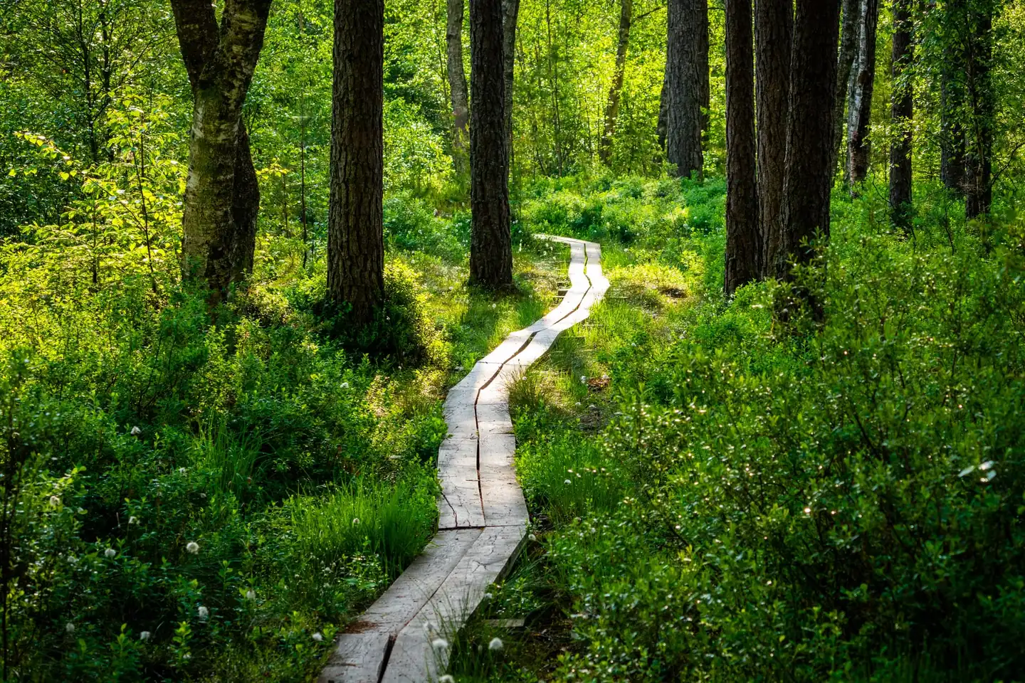
Sunset Trail is the great long-distance route of Hot Springs National Park in Arkansas: a trail of about 16 kilometers in its basic layout, which can become a journey of between 21 and 27 kilometers if linked with other park paths. Its fame does not come from comfort, but from the very appealing mix of elevation change, uneven terrain, open views, and a sense of isolation that is uncommon within such a visited national park.
The route follows the inner edge of the park and crosses three major sectors: West Mountain, Sugarloaf Mountain, and Stonebridge Road. That means the walk is neither uniform nor linear, but changing, with ridges, wooded areas, rocky passages, and stretches where navigation demands attention. For hikers, that combination is part of the charm; for anyone looking for a light stroll, it is a clear warning.
A long trail within an urban and mountainous park at the same time
Hot Springs National Park has something distinctive: it is a protected area with a very close relationship between nature, history, and urban proximity. Sunset Trail captures that mix from the first stretch. It is not a perimeter walk without relief, but a route that ascends, descends, and brushes past areas where vegetation, views, and geology become the main attractions. The feeling is of moving along the back of a mountain that gradually opens toward the horizon.
The full route covers a range of 13 to 17 miles depending on the connections chosen, placing it in a high-effort range for a day hike. In practical terms, the hike can require between 6 and 9 hours, depending on pace, stops, and the exact section completed. This is not a decorative figure: on a route like this, time is also determined by the terrain, not just the distance.
The topography explains much of its reputation. There are sections with dirt and gravel footing, others with loose rock, and several crossings where a poor reading of the path can lead to an unintended detour. False junctions are no minor detail; they are one of the features that define the experience and that require keeping an eye on the orange trail markers.
The route and its three main sectors
The West Mountain Section covers 2.8 miles between West Mountain Summit and Blacksnake Road. In that stretch appears one of the park’s most recognizable landmarks: Music Mountain, the highest point in Hot Springs National Park, at 1,405 feet. The visual reward is clear: panoramas of the southern part of the park and Lake Hamilton, with a breadth of landscape that breaks the idea of a trail enclosed by trees.
The Sugarloaf Mountain sector, at 2.6 miles, connects Blacksnake Road with Cedar Glades Road and concentrates one of the route’s most photogenic features: Balanced Rock, an Arkansas novaculite formation that rises in an almost impossible balance on the hillside. The short detour to that spot adds just 0.2 miles, but it completely changes the tone of the hike: there the trail becomes steeper, rockier, and more demanding on the feet.
Stonebridge Road completes the itinerary with 3.8 miles between Cedar Glades Road and Gulpha Gorge Campground. It is a stretch with a different reading, because it crosses land that was once part of the Fordyce family estate. Ricks Pond also appears, an area especially valuable for observing aquatic wildlife and birds, always with the caution of not intruding on structures or adjacent private property.
Why it is considered a demanding route
Sunset Trail is not difficult for a single reason, but for the sum of several. Distance matters, of course, but so do accumulated elevation gain, uneven terrain, and the fact that the route requires constant decision-making. It is not the kind of trail one walks on autopilot; rather, it calls for sustained concentration, especially in the areas where side paths diverge from the main route.
The park authorities also warn that some false paths cross into private property. That detail matters because it changes how the environment is read: it is not just about following a map, but about respecting a very concrete boundary that appears in the middle of the landscape. The recommendation to always follow the orange markers is not ornamental, but necessary to avoid navigation errors and possible incidents with neighboring land.
The footing also affects the hike. There are dirt and gravel areas, but the going becomes tougher in sections with uneven surfaces, roots, rock, and short but intense inclines. In rain or humidity, those parts can become slippery, increasing the feeling of effort. On a trail like this, speed stops being a priority; what matters is footing control, attention, and steadiness.
Views, points of interest, and the route’s real appeal
The great reward of Sunset Trail is visual. Not through a single postcard view, but through a sequence of scenes that change with altitude and orientation. In West Mountain, the landscape opens toward Lake Hamilton and the southern part of the park. In Sugarloaf, the main attraction is the balanced rock and the more abrupt relief. In Stonebridge, the presence of Ricks Pond introduces a calmer, almost silent contrast, where the trail seems to lower its volume.
This play of contrasts gives it personality. It is not a route where everything happens at the same level above the ground. There are natural overlooks, ridge stretches, and passages where the forest softens outside noise. The hike alternates between the openness of the horizon and the enclosure of vegetation, as if the trail were breathing in its own changes of rhythm.
There is also a less visible historical value. The Stonebridge Road area preserves the trace of the former Fordyce estate, and that layer of the past overlaps with the natural route without overpowering it. The result is not an open-air museum, but a landscape in which the memory of the land accompanies the hiker while they move among rocky edges, trees, and clearings.
Orientation, access points, and where hikers most often go wrong
The route can be started from several access points: West Mountain Summit, Blacksnake Road, Cedar Glades Road, and Gulpha Gorge Campground. That flexibility makes it possible to split the route into shorter sections or tackle the full circuit. It also makes it easier to adapt the outing to the time available, useful on a trail that does not easily reduce to a simple out-and-back hike.
One of the most common mistakes occurs near Cedar Glades Road, where an old roadbed and a power line can confuse the reading of the route. At another point, the area near the communications tower on West Mountain requires maintaining a precise direction so as not to leave the marked corridor. These are minor details on the map, but decisive on the ground.
The orange markings are therefore the main reference. Even so, people who hike the area often find that the surroundings can seem more open than they really are. In areas with multiple side trails, the landscape invites intuition; that is exactly where it is most important to distrust it. The route rewards attention more than improvisation.
Wildlife, silence, and a very different experience depending on the time of day
One of the trail’s less obvious virtues is the possibility of observing wildlife, especially around Ricks Pond. The water attracts birds and other animals, and in that stretch the hike becomes more contemplative. There is no guaranteed show, but there is a favorable context for discreet movement to appear along the banks and in the vegetation.
The time of day changes the perception of the route completely. In the morning, the contrasts are sharper and the temperature is usually gentler. Late in the day, the lower light reinforces the trail’s name and gilds the edges of the landscape, though the route does not become an easy walk for that reason. Sunset can be magnificent, yes, but it is worth remembering that the terrain is still the same: long, technically demanding in some places, and subject to closing times that leave no room for carelessness.
The park closes the trails between 10:00 p.m. and 5:00 a.m. every day of the year. That rule sets the real framework for any outing. It is not enough to want to extend the day; the route is designed to be done in daylight and with enough margin to return without rushing. On a route like this, the afternoon can run out too quickly if the total duration is underestimated.
What is worth keeping in mind before hiking it
Preparing for Sunset Trail is not about gimmicks, but about realism. The park indicates that the route is not accessible to people with reduced mobility, that the footing is irregular, and that the trail as a whole requires a stronger-than-average level of fitness. It also allows dogs on leash, with the obligation to pick up waste, which fits the shared use of the natural space.
On such a long hike, water and pace become part of the practical landscape. There are no service stations scattered like on an avenue or continuous support along the route. It is a trail that calls for self-sufficiency, a sensible reading of effort, and enough margin to handle unexpected events without turning the return into a race against the clock.
The park also notes that not all side routes are maintained. Some arms of the path leave the main trail and do not continue within the protected boundary. That reinforces a central idea: the route is beautiful, but not indulgent. Its beauty has edges, rules, and small navigation traps that are part of its character.
Its place within Hot Springs National Park
Within the park, Sunset Trail functions as a backbone for long-distance hiking. It does not compete with the thermal areas for immediate popularity, but it does offer a more complete reading of the territory. It brings together elevation, forest, rock, history, and wide-open views in a single proposal, and that is why it has become one of the most valued routes for those looking for more than a short stroll.
Its significance is also understood through its ability to connect different sectors of the park. Links with other trails make it possible to build loops of 15 to 17 miles, so the route is not closed in on itself. That modularity increases its usefulness and makes it a central piece of Hot Springs’ trail system, where each section adds a different texture to the whole.
In terms of experience, Sunset Trail leaves a fairly precise impression: it is a path that gives nothing away, but returns a lot. The view, the scale of the landscape, the presence of rock, the murmur of the forest, and the history of the place appear in layers. Those who hike it will not remember only a long trail, but a sequence of changes in terrain and light that explain why this name still holds a prominent place among the park’s most notable routes.
A trail better measured by its character than by its miles
Sunset Trail is better understood as a mountain experience with the logic of a national park than as a simple line on a map. Its distance matters, but it does not sum up the route. What truly defines it is the balance between physical effort, precise navigation, and changing scenery, a combination that explains its reputation among somewhat experienced hikers.
That is why the route cannot be reduced to a number of miles or a list of points of interest. It is a slow-moving hike, with a reward that appears as the body adapts to the terrain and the eye learns to read the surroundings. In Hot Springs, this trail does not just cross the park: it interprets it, orders it, and makes it legible from above, between the shade of the trees and the low line of the sunset.



How to prevent thigh chafing: causes and real solutions

Women’s running windbreakers: seven jackets and how to choose

Do more workouts get rid of soreness? A guide for runners

Jaén Half Marathon 2026: Record 3,800 Runners Registered

Men’s short running tights: how to choose the right pair

World Triathlon confirms data breach involving medical data

Izan Edo targets podium at Miyazaki World Cup

María Pérez ranks ninth in World Athletics’ 2026 top ten

Dos Santos, Duplantis and Sawe: World Athlete of the Year finalists

San Silvestre Vallecana 2026: 42,000 places, prices and start times

 Races3 months ago
Valencia Half Marathon 2027: date and registration

 Reviews and Comparisons4 months ago
Asics Gel-Roadmiles 3 for men: review and current price

 Races3 months ago
Valencia Marathon 2026: entry, ballot and course

 Reviews and Comparisons4 months ago
Asics Gel Sonoma 8 Gore-Tex: complete analysis for trail and rain

 Sneakers3 months ago
Saucony Endorphin Pro 4: full review and verdict

 News5 months ago
Strava API 2026: what changes for clubs, challenges and runner apps?

 Reviews and Comparisons5 months ago
Nike Alphafly 3: opinions, sensations, and real key points

 Reviews and Comparisons4 months ago
Under Armour running shoes review 2025-2026: models and key features

 Sports Equipment4 months ago
Shoe sizes in cm: a clear guide to getting the right fit for your footwear

 Sneakers3 months ago
Skechers GO RUN Consistent 2.0 analysis: comfort and limits

 News5 months ago
Valencia Marathon 2026 route: key tips to train and run better

 Sneakers4 months ago
Adidas Adizero Boston 13 for men: review and verdict